- The Retired Swimming Pool: N 41° 20.487 W 074° 05.612
-
Drive to the scenic Lake Frederick. Enter through Smith Clove Rd when navigating to the location. Start by parking in the lots by the covered picnic tables. Do not drive on the old gravel road of the loop. Start the walk around the lake until you hit the old swimming pool. This is a short walk away from the parking lot. Do not swim in this old pool. Begin your search here. Be aware of loose rocks in the surrounding area
Parking Area
Lake Frederick Lot: N 41° 20.421 W 074° 05.867
Once arrived at Lake Fredrick, park in the lot closest to the covered picnic tables.
Reference Point
Old Swimming Hole: N 41° 20.487 W 074° 05.612
You are in the correct area when you have reached the old swimming hole along the loop around the lake. Do not swim in this water.
*This is not affiliated with the official geocaching app
- Bell of the Ball: N 41° 21.310 W 073° 58.916
-
Drive to Morgan Farms historically, owned by JP Morgan and home to the beautiful horses and mules. There are two stables - go to the stables up the hill. Do not disturb the animals, your cache is not within any building. Search high and low and try not to be too sluggish in the process.
Reference Point
Horse Stables: N 41° 21.310 W 073° 58.916
Do not enter the stables no matter what, the cache is not inside the stables, it's outside of the building.*This is not affiliated with the official geocaching app
- Lake Frederick Gazebo: N 41° 20.219 W 074° 05.812
-
Go on a scenic drive to Lake Frederick. Enter through Smith Clove Rd when navigating to the location. Park in the lot next to the covered picnic tables. Then begin to follow the road away from the cabins onto the gravel road. Do not drive on the gravel road. As you are walking there will be a swimming hole, do not swim in this water. Continue this path through the overgrown vegetation on the other end of the narrow path will be a road, continue on this road. While walking you will pass hikes up to ruins, don't follow these signs continue the road. Along the road you will find a gazebo overlooking the lake this is the cache area. On your way out you can either continue to walk on the same path which will loop fully to the parking area or retrace your steps back.
Parking Area
Lake Frederick Lot: N 41° 20.421 W 074° 05.867
Once arrived at Lake Fredrick, park in the lot closest to the covered picnic tables.
Reference Point
Old Swimming Hole: N 41° 20.457 W 074° 05.639
On the path there is an old swimming hole, keep going straight on the slightly overgrown pathway.
Ruins Sign: N 41° 20.353 W 074° 05.724
Continue the path into the woods, you should pass two signs that lead you to a ruin, do not go on those paths.
*This is not affiliated with the official geocaching app
- Long Pond View (Seasonal Access): N 41° 22.440 W 074° 01.442
-
*Seasonal Access based on Round Pond being open*
Drive to Round Pond. Park in the area next to the playground, other parking areas are used for campers. Follow the road you drove in on along the side until you see a sign on your right, the sign will have a hiker on it. This is across the road from a pavilion and a fishing dock. Follow this trail. It is overgrown so I recommend wearing long pants when doing this cache. You will reach a point on the path that the hike splits between a hiking trail and a lookout point with a gazebo, follow the arrow towards the lookout point. Once the lookout point is reached enjoy the view of Long Pond and search the surrounding areas.
Parking Area
Playground: N 41° 22.564 W 074° 01.558
Park behind the playground, other spots are for campers.
Reference Point
Ramapo Trail Trailhead: N 41° 22.524 W 074° 01.370
Trail head will be along the road toward the entrance of the Round Pond. There is a sign outside of trail head with a hiker on it follow that path. The trail is overgrown.
Path Split: N 41° 22.480 W 074° 01.409
The paths will split with a sign that has hiking trail one way and gazebo/pavilion with view in another. Follow the gazebo/pavilion with view sign.
*This is not affiliated with the official geocaching app
- Floating Dock: N 41° 22.700 W 074° 01.897
-
*Seasonal Access based on Round Pond being open*
Drive to Round Pond. You will begin by parking in the lot across from the beach, if you prefer not to walk as far stop in the main store towards the entrance and ask for the gate key to Wilkins Pond. Walk/Drive along the loop with the cabins, this starts by the beach. There will be a left turn with a gate, turn at this point and walk past the gate on the left side. If driving locks the gate behind, you. Now follow the road, it will eventually open to a pond with so roads veering off on the left continue the road parallel to the pond. Continue passed the main dock down the road. If driving park on one of the roads that veer left prior to the floating bridge dock. There will be a floating bridge continue passed this as well. Now there is one last floating structure remaining, search this area. There is no need to enter to water to reach it. This road is not a loop so retrace your tracks. If you drove in, lock the gate behind and return the key as soon as possible.
Parking Area
Round Pond Beach: N 41° 22.680 W 074° 01.496
Park in the spaces across from the beach at Round Pond. If you would rather not walk the distance, go to the main store and ask for the Wilkins Pond Gate key, close and lock gate behind you park by the floating dock.
Reference Point
Gate: N 41° 22.763 W 074° 01.548
There will be a locked gate, go to the left of the gate and walk through.
Main Dock: N 41° 22.697 W 074° 01.772
There will be a main dock with benches continue down the road parallel to the lake.
*This is not affiliated with the official geocaching app
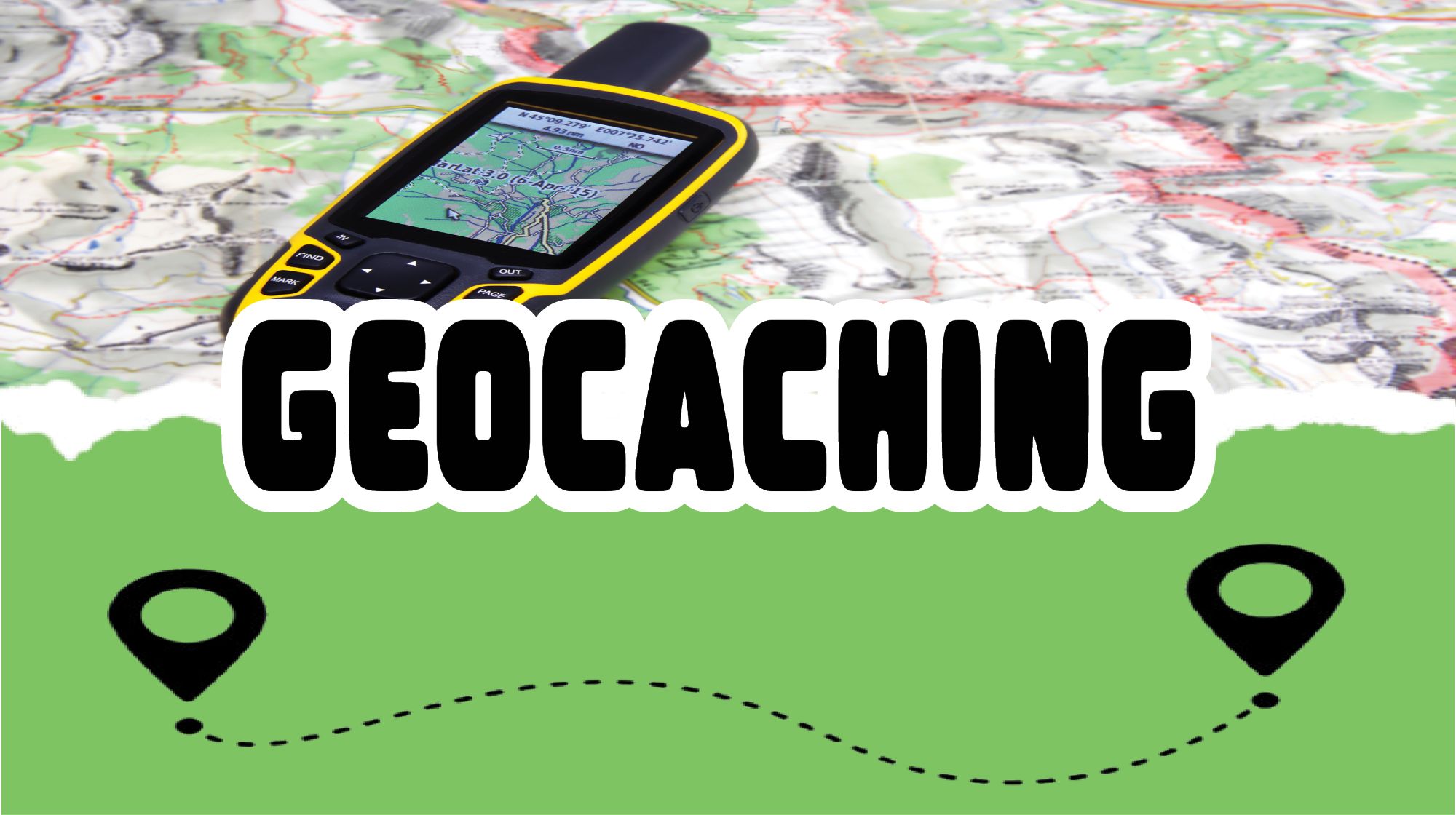
Geocaching is an outdoor activity that involves using a GPS device to find hidden containers, or geocaches, located at specific coordinates.
Grab your friends & family and find our FIVE geocaches, scattered around various MWR sites! (See below)
*This is not affiliated with the official geocaching app


